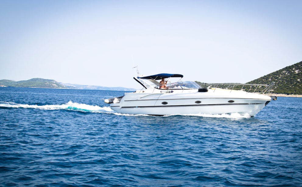
Ensuring boating safety is a top priority for anyone venturing out on the water. In 2024, advancements in navigation tools have made it easier to navigate and stay safe. We understand the importance of reliable navigation systems, whether you’re an experienced sailor or new to boating.
The right tools can make all the difference. GPS systems, marine radars, and chartplotters provide the accuracy and information needed to ensure safe sailing. Navigation apps have become invaluable, offering real-time updates and easy-to-access information right from your phone or tablet.
In this article, we’ll explore the top navigation tools essential for boating safety. From understanding how GPS systems keep us on track to discovering the best marine radars for avoiding hazards, we’ll cover it all. These tools are designed to help make your time on the water both enjoyable and secure.
Understanding the Importance of GPS Systems
GPS systems have revolutionized boat navigation, making journeys safer and more efficient. With a reliable marine GPS, we can plot our course with precision, avoiding hazards and staying on track even in challenging conditions. This tool provides real-time data on our location, speed, and heading, helping us make informed decisions on the water.
Using a GPS system also enhances our safety by providing crucial information such as tide tables, weather updates, and navigation aids. In the event of an emergency, a GPS can be lifesaving, offering accurate coordinates that can be relayed to rescue teams. By integrating GPS with other navigation tools, we can create a robust system that ensures we reach our destinations smoothly and safely.
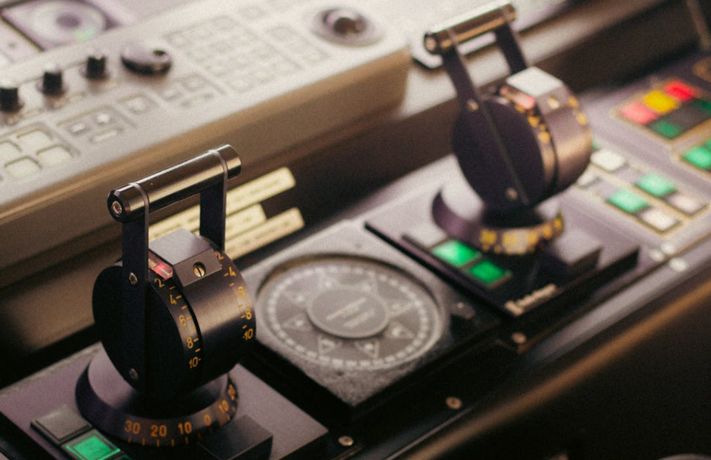
Choosing the Best Marine Radars for Safety
Marine radars are essential for detecting obstacles and navigating through poor visibility conditions like fog or heavy rain. Selecting the right marine radar involves considering factors such as range, resolution, and the size of your boat. A radar with a longer range allows us to detect obstacles and other vessels from a greater distance, giving us more time to react and adjust our course.
High-resolution radars provide clearer images, making it easier to identify small objects and navigate safely through crowded waters. Choosing a radar compatible with our existing navigation systems is also important to ensure seamless integration and optimal performance. By investing in top-quality marine radar, we enhance our ability to avoid collisions and navigate safely, regardless of the weather or visibility conditions.
We also look for features like automatic target tracking and collision avoidance alerts, enhancing safety by providing real-time information on potential hazards. By understanding our specific needs and the environments we frequently navigate, we can choose the best marine radar to keep our boating adventures safe and enjoyable.
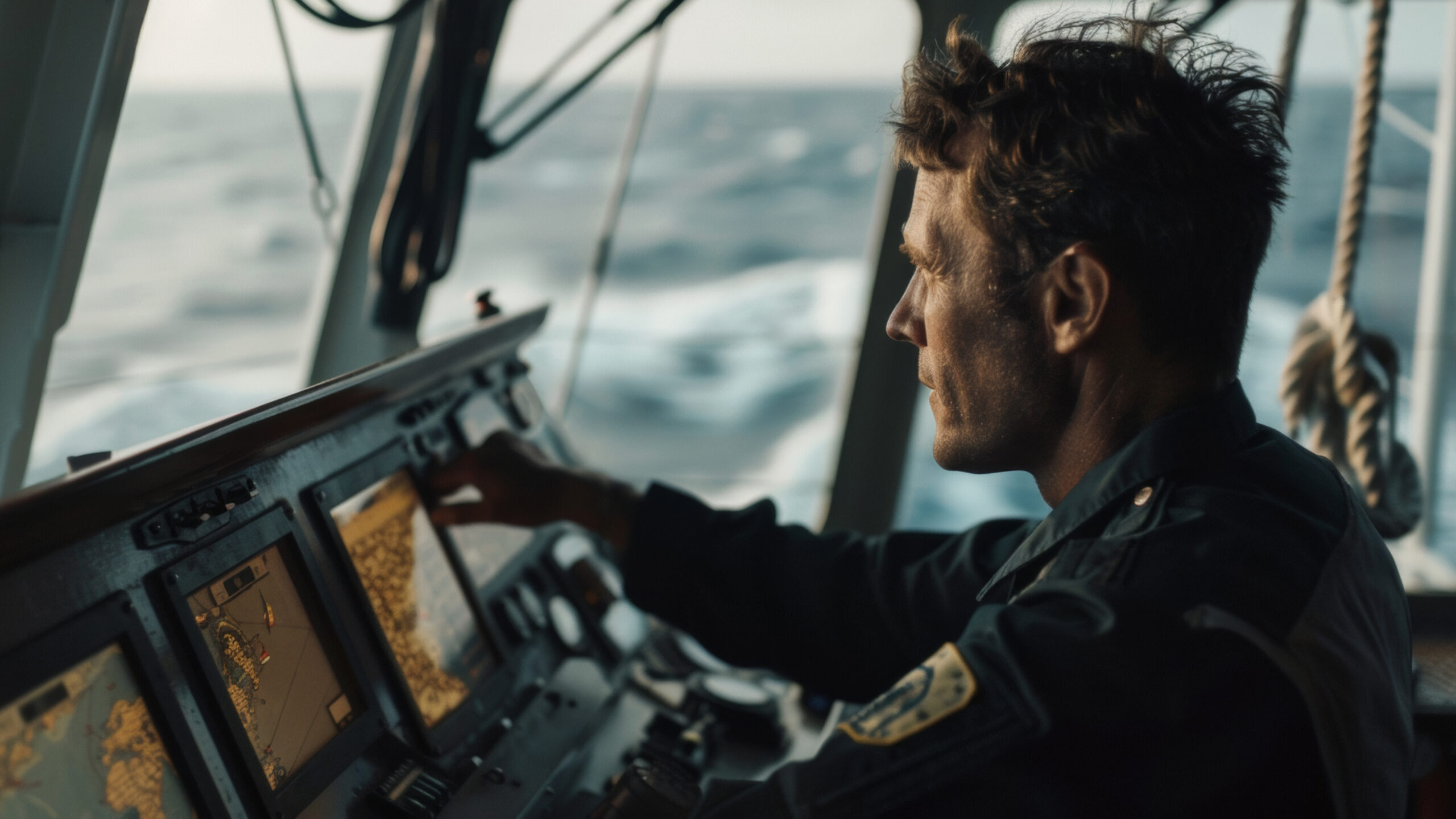
Essential Chartplotters for Accurate Navigation
Chartplotters are crucial tools for any serious boater, providing detailed maps and real-time positioning that help us navigate accurately. With a chartplotter, we can visualize our route on an electronic map, making it easier to avoid hazards and find the best path to our destination. These devices integrate GPS data with marine charts, offering a comprehensive view of the surrounding waters.
When choosing a chartplotter, we consider the display size, the charts’ quality, and the ease of use. A larger screen with high resolution allows us to see more details, which is especially useful when navigating through complex waterways. Additionally, touch-screen interfaces and intuitive menus can make it easier to plot courses and access vital information. Advanced features like 3D mapping and automatic updates further enhance the accuracy and usability of a chartplotter, making it an indispensable tool for modern boating.
Must-Have Navigation Apps for Boaters
Navigation apps have become valuable companions for modern boaters, offering convenience and functionality right from our smartphones or tablets. These apps provide real-time data, tide charts, weather updates, and even social features that allow us to share information with fellow boaters. Popular navigation apps can complement other navigation tools, ensuring that we can access up-to-date information and adjust our plans as needed.
When selecting navigation apps, we look for features like offline map availability, ease of use, and device compatibility. Some apps offer specialized functions such as route planning, automatic updates on weather conditions, and alerts for potential hazards. By providing timely and accurate information, these features can make our boating experience safer and more enjoyable. Integrating these apps with our overall navigation setup enhances our ability to navigate effectively and stay informed throughout our journey.
Conclusion
Navigating coastal waters requires the right tools and knowledge to ensure a safe and enjoyable experience. Advanced GPS systems, reliable marine radars, essential chartplotters, and handy navigation apps help us confidently set sail and explore new waters. Each tool plays a critical role in enhancing our navigation capabilities, making it easier to avoid hazards, plan routes, and stay informed about changing conditions.
At Charthouse Marine Electronics and Outfitters, we specialize in providing top-quality navigation products tailored to every boater’s unique needs. Whether you’re a seasoned mariner or a weekend enthusiast, our expert team is here to help you equip your vessel with the best tools available. Contact us today to ensure your next coastal adventure is safe, efficient, and enjoyable with the right navigation setup.